
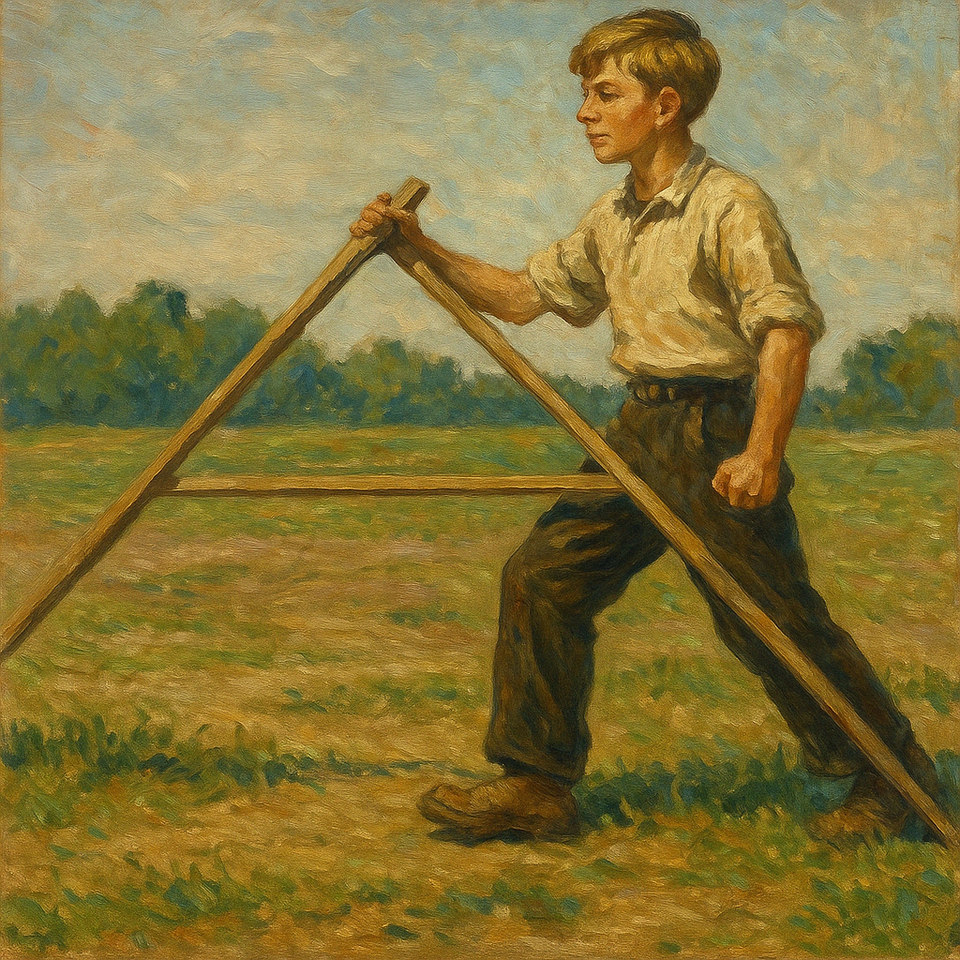

Today we recall an old measuring instrument that brings together mathematics, everyday life and peasant ingenuity: the field compass, also known as a land compass or simply a sazhen.
This simple device was used to measure distances on the ground, most often in agriculture, when marking out fields and dividing land into plots. It was especially popular among peasants, who combined an eye for measurement with practical mathematics.
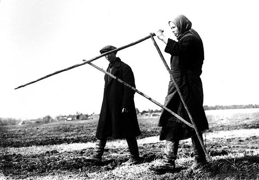

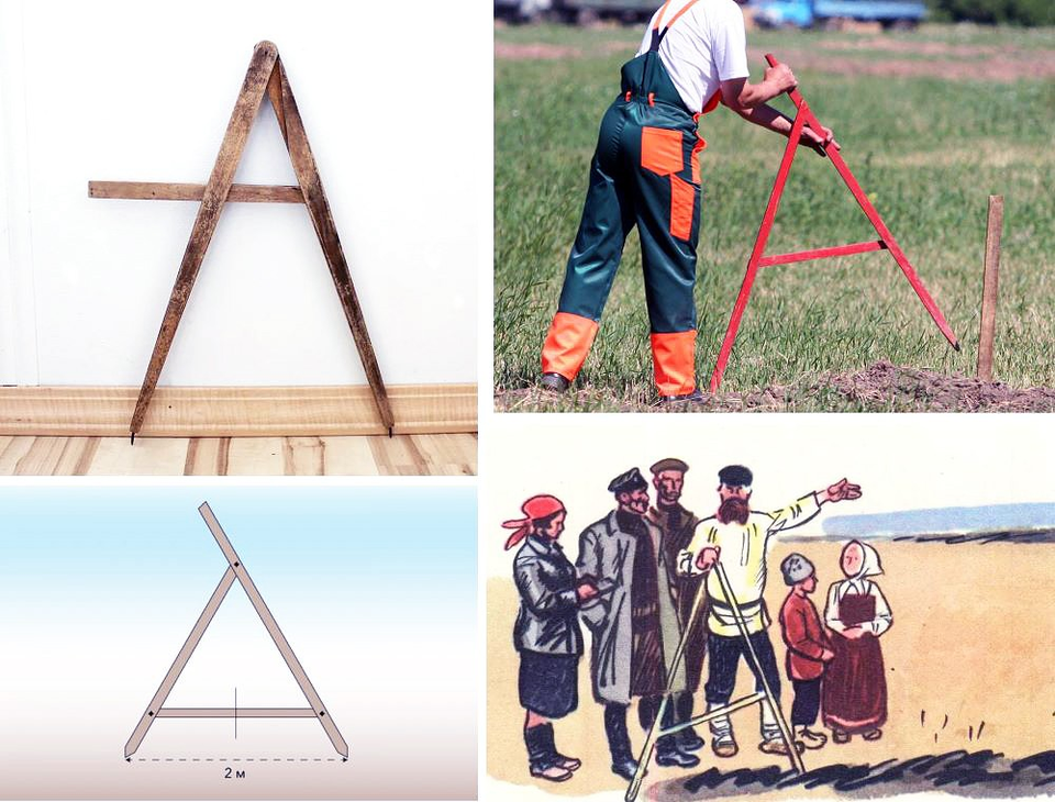
The compass is an A-shaped frame: two long wooden strips, approximately 170–180 cm each, meet at the top and are secured by a crosspiece about a metre long. One end of each stick was sharpened to make it easier to push into the ground. The other was left rounded, sometimes with a projecting part, to make it convenient to “walk” the instrument across a field.
Each step measured one sazhen, a traditional Russian unit of length (~2.13 m). As they moved the compass across a field, peasants counted off distances, calculated the area of a plot and compared their allotments. Later, the distance was standardised in metres: exactly 2 m or 1 m.
Interestingly, Soviet teachers used the field compass as a visual aid in geometry lessons. It makes it easy to explain length, angles, equal line segments and scale.
Such an instrument is easy to build yourself, especially as part of a lesson or a summer hike. Trying it out outdoors is an engaging way to experience mathematics “in action”.

Further reading
- Dorf, P. Ya., and Rumer, A. O. Measurements in the Field. Moscow: Academy of Pedagogical Sciences of the RSFSR, 1953. 98 pp.
- Nikitin, N. N. Geometry: A Textbook for Grades 6–8. Moscow: Prosveshcheniye, 1969. 216 pp.
- Prochukhayev, V. G. Measurement in the Secondary-School Mathematics Course. Moscow: Prosveshcheniye, 1965. 140 pp.