
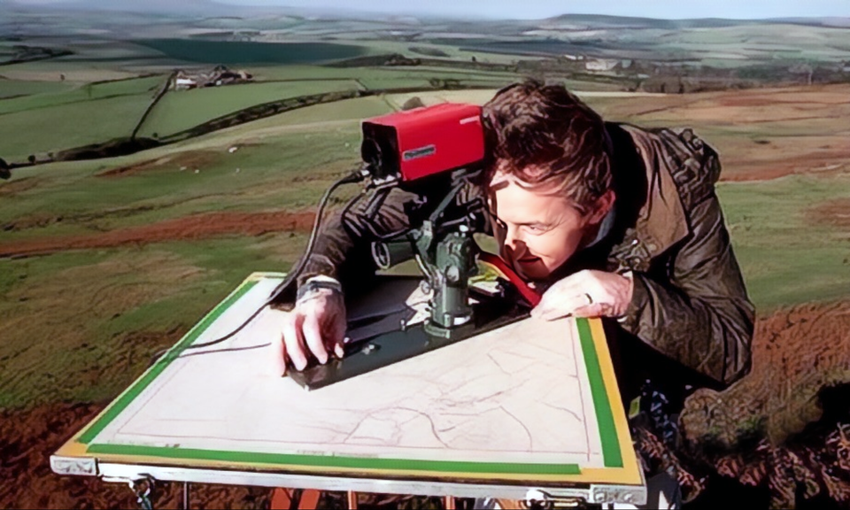

Homothety has a direct practical application in land surveying and topographic fieldwork, for example in what is known as plane-table surveying.
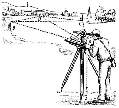

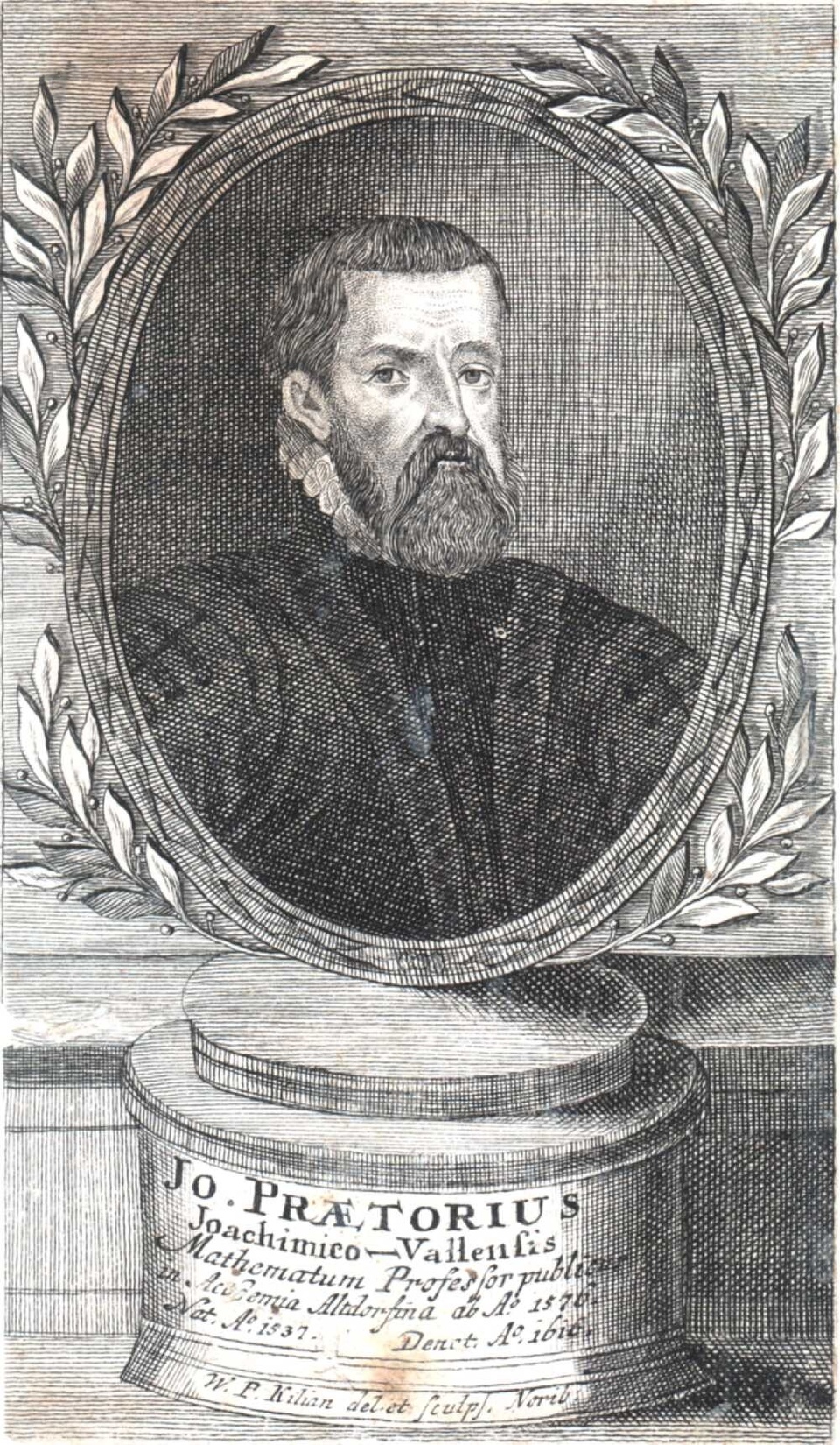
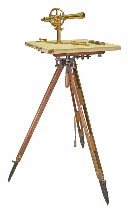
A plane table (Latin mensula, “small table”, from mensa, “table”) is a field drawing table consisting of a drawing board, a tripod and a mounting that joins them. It is a surveying instrument. It was invented by the Bavarian mathematician and astronomer Johannes Praetorius around 1610.

The plane-table board is usually a square with sides between 30 and 60 centimetres long.
A plane table allows horizontal projections of lines in the terrain to be drawn. Auxiliary instruments are required: a sighting alidade or a telescopic alidade, used to sight surrounding objects and draw the corresponding directions. An orientation compass is also used to align the board with the cardinal directions, along with a plumbing fork and plumb bob for positioning a point on the board precisely above the corresponding point on the ground.
The sighting rule is placed against the plotted station point and directed towards one of the vertices, preferably the most distant one; the distance to it is used to establish the scale of the plan. A ray is then drawn on the paper in the chosen direction.
Without moving the board, the sighting rule is directed towards the next vertex. Its distance is measured on the ground and marked along the ray at the scale already established. This work is repeated for all the vertices of the plot. Joining the vertices on the board gives the outline of the plot.

Further reading
-
Blokh, A. Ya., Cherkasov, R. S., and Stolyar, A. A. Methods of Teaching Mathematics in Secondary School. — Moscow: Prosveshcheniye, 1985. — 336 pp.
-
Great Soviet Encyclopedia. Vol. 16 / Chief editor A. M. Prokhorov. — Moscow: Sovetskaya Entsiklopediya, 1970–1978.
-
Dorf, P. Ya., and Rumer, A. O. Measurements in the Field. — Moscow: Academy of Pedagogical Sciences of the RSFSR, 1953. — 98 pp.
-
Znamensky, M. A. Measurement Work in the Field. — Moscow: Uchpedgiz, 1960. — 192 pp.
-
Nikitin, N. N. Geometry: A Textbook for Grades 6–8. — Moscow: Prosveshcheniye, 1969. — 216 pp.
-
Nikitin, N. N., and Fetisov, A. I. Geometry: A Textbook for Grades 6–9 of Seven-Year and Secondary Schools. — Moscow: Uchpedgiz, 1956. — 234 pp.
-
Teaching Mathematics / edited by A. I. Fetisov. — Moscow: Academy of Pedagogical Sciences of the RSFSR, 1957. — 252 pp.
-
Prochukhaev, V. G. Measurement in the Secondary-School Mathematics Course. — Moscow: Prosveshcheniye, 1965. — 140 pp.